£45
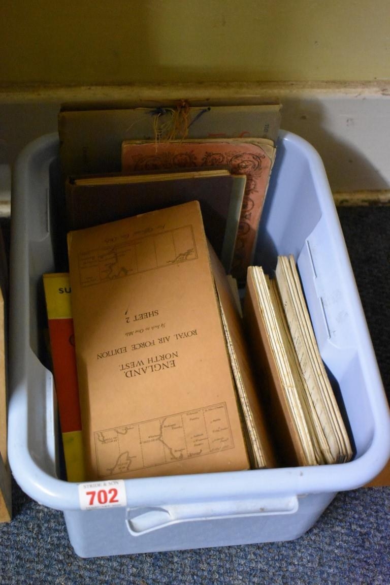
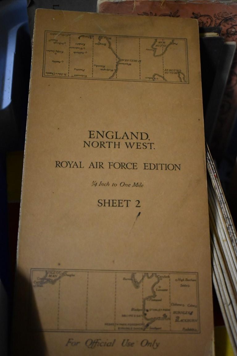
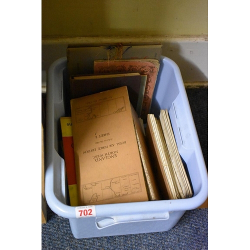
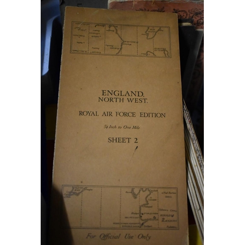
(HP) FOLDING MAPS: 'Stanford's War Maps No.1...Central and Eastern Europe..', London, Edward Stanford, circa 1870: folding engraved map hand coloured in outline, printed on paper and laid onto linen, publishers plum cloth boards with printed onlay, VG: TOGETHER WITH a small carton of misc. other folding maps, guides, pamphlets and plays. (Small carton)
Fees apply to the hammer price:
Room and Absentee Bids:
18% inc VAT*
Online and Autobids:
21.6% inc VAT*